Ben Melosh
Research Geologist
Integrating field geology, geophysical observations, and numerical modeling to understand active faults, crustal deformation, geothermal systems, and earthquake mechanics.
Integrating field geology, geophysical observations, and numerical modeling to understand active faults, crustal deformation, geothermal systems, and earthquake mechanics.
Research integrating field observations, geophysical data, and numerical modeling
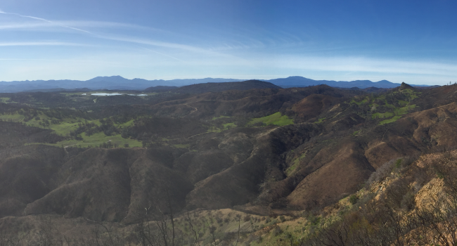
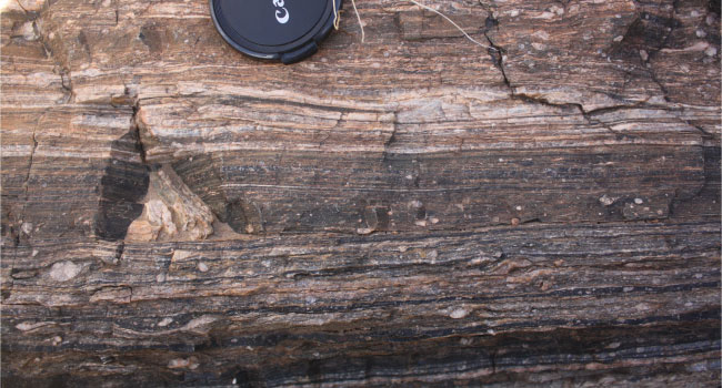
Mapping fault geometry, kinematics, and earthquake potential using field geology and geophysical methods.
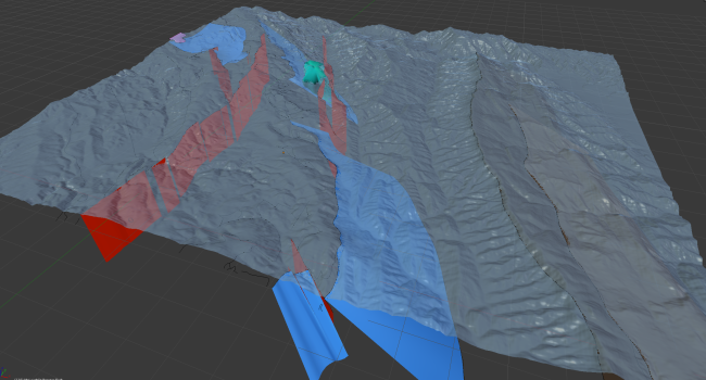
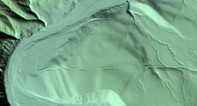
View Projects →Creating bedrock maps and structural models from field data, LiDAR, and subsurface interpretations.
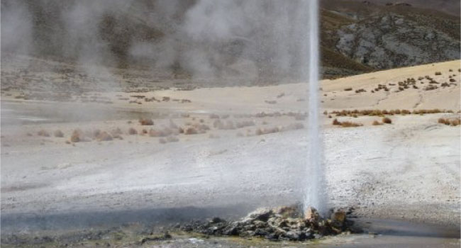
View Projects →Linking structural geometry, permeability, and fluid flow to geothermal resource assessment.
View Projects →Finite-element and continuum models of fault and crustal mechanics, rheology, and deformation.
View Projects →Understanding earthquake mechanics, fault slip, strain accumulation, and seismic hazard assessment.
View Projects →Integrating well logs, seismic reflection, gravity, and magnetics for crustal and resource characterization.
View Projects →